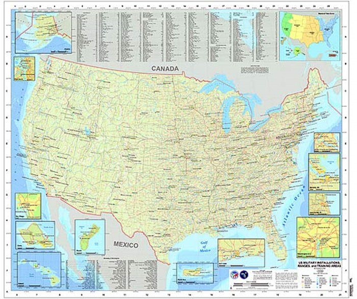
I came across a fascinating map which may be of interest to some of you – of US Military bases, installations, ranges, and training areas. It is interesting to know what may be nearby in your own region, as well as general knowledge.
This map is very much incomplete. Off the top of my head there is Fort Belvoir and the Marine Corp Base at Quantico. I wonder what other places are MIA. Would love to see this overlaid with other government no-go facilities (those referred to as “restricted area” regions).
Still nice for reference.
The original file was huge, so I re-sized the map image down to 6000×5000 pixels (about 6MB) for more practical usage, view-ability, and download-ability.
All point locations are from best available unclassified sources.
The locations shown encompass both owned and leased lands. Not all installations, ranges, and training areas are depicted on this map.
This image is a work of the United States National Geospatial-Intelligence Agency. As a work of the U.S. federal government, the image is in the public domain.
US Military Bases & Installations Map
(6000 x 5018 px, 5.7MB)
Other articles you might like:
 Best Road Atlas Maps of the Northwest
 How To Download Free Topo Maps
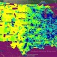 Population Density Migration 1980-2000
Also check out:
Six maps you need for an urban evacuation
Plan Your Escape Routes Before Disaster Strikes
Six maps you need for an urban evacuation
Start now to make sure you are staying prepared.
Via: modernsurvivalblog


 Follow
Leave a Reply